Resources and links to more information. Go deep.
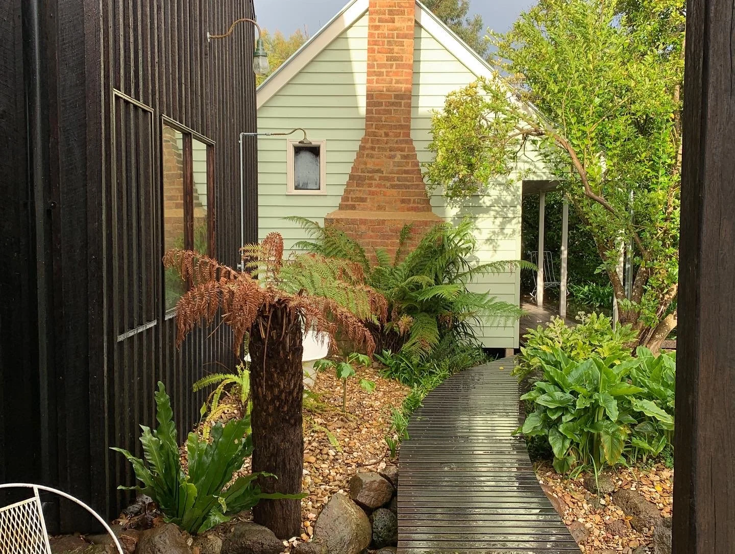
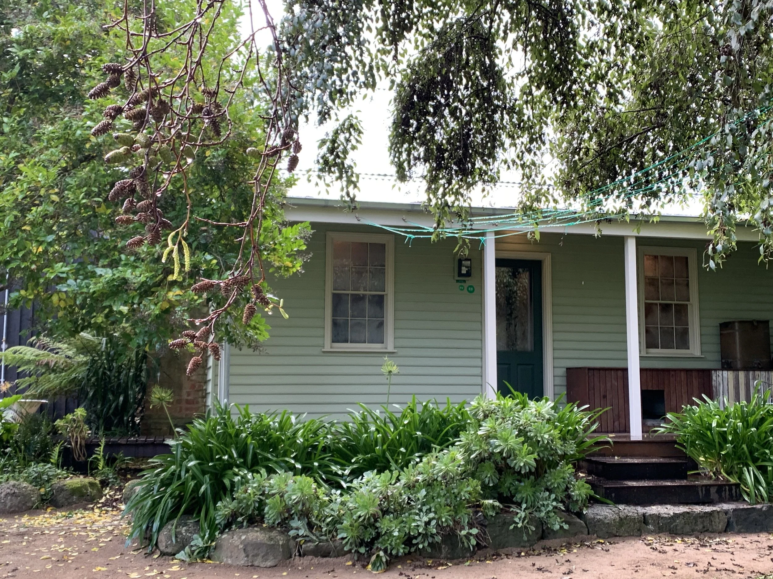
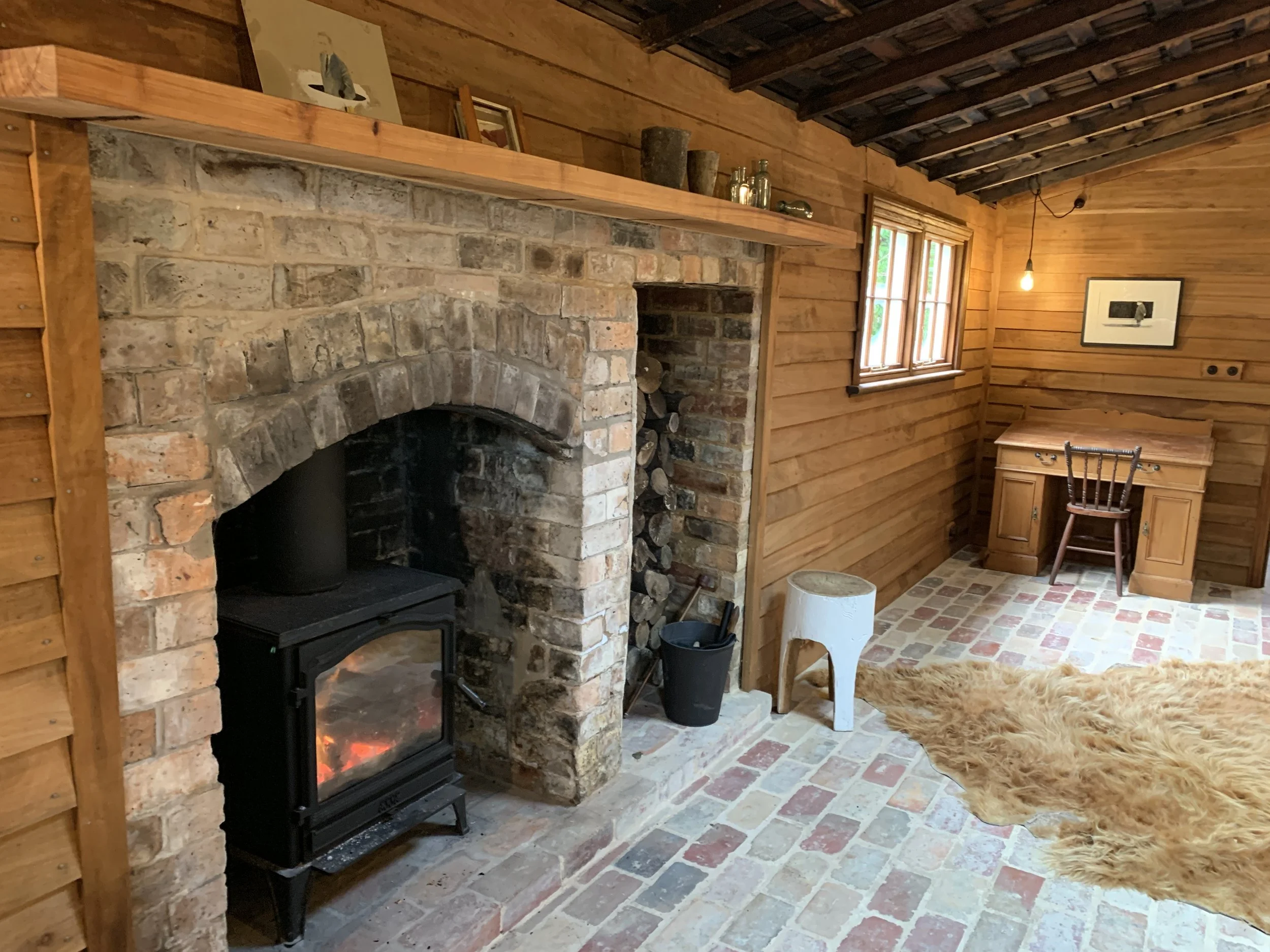
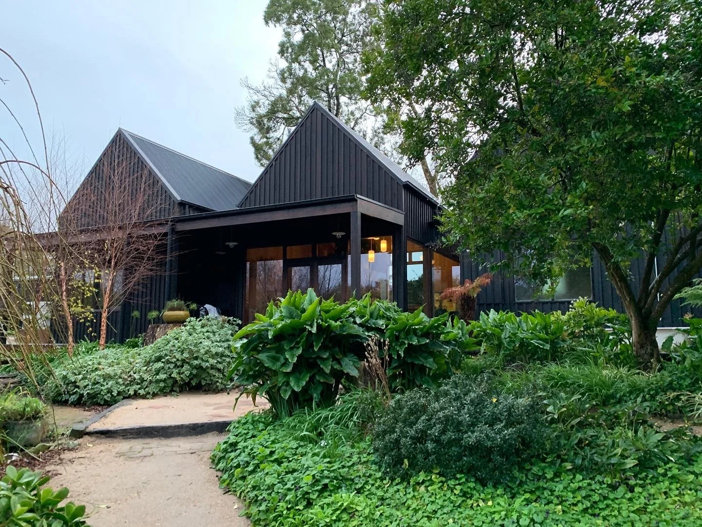
Episode 5.4 Miners Cottage, Vic
This episode first aired on 06.08.23
Architect Unknown
Date ~1855
Quick download
to come
See these links for more.
Wootton, https://wootten.com.au/
instagram @gordoniaminerscottage
The Lost trades Fair, Bendigo: https://www.losttradesfair.com.au/
The Government Camp, Ballarat, 1857: https://nla.gov.au/nla.obj-137384579/view
A range of maps of Ballarat 1858-1992 (need to be downloaded): http://earthresources.efirst.com.au/categories.asp?cID=26&c=23813
Goldmining: https://www.slv.vic.gov.au/search-discover/explore-collections-theme/australian-history/goldmining
Golddiggers: https://earthresources.vic.gov.au/geology-exploration/minerals/metals/gold/gold-mining-in-victoria/gold-diggers
Municipality of Gordon, Victoria: https://collections.museumsvictoria.com.au/articles/2279
“The Shire of Gordon was a rural shire located north-west of Melbourne. It was named after the area's first settler, George Gordon, in 1838. Gold was discovered in the vicinity in May 1858, and the mining town of Gordon soon grew by the Moorabool River. The goldfield was also known as Gordon's. By July 1858 300 people were working on Gordon's. It was soon clear that the gold reef ran all the way to Mount Egerton. By 1860 two companies, Kangaroo Bob Reef and Parker's, were working on the Gordon end of the field. By 1863 quartz mining in the division had stagnated. Only the Parker's Reef Company was at work at the Gordon end. Quartz mining was soon wound down. However, in the mid-1860s ground sluicing was still being carried out along Parker's Gully and the banks of the Werribee River (10 miles north of Gordon). In March 1868 the mining registrar reported that a large extent of ground had been taken up, stretching north from the Egerton mine to Parker's, Kangaroo Bob and Hicks reefs at Gordon.”
Swanston Street. Melbourne [i.e. Melbourne] (1858) : https://viewer.slv.vic.gov.au/?entity=IE481654&mode=browse
Canvas Town, between Prince's Bridge and South Melbourne in 1850s.: https://viewer.slv.vic.gov.au/?entity=IE462493&mode=browse
Oriental Bank. Melbourne, 1858: https://viewer.slv.vic.gov.au/?entity=IE560783&mode=browse
Victoria, Gold License 1852: https://viewer.slv.vic.gov.au/?entity=IE1322611&mode=browse
View of opening of the Princes Bridge, Melbourne, on Friday 15th November 1850: https://viewer.slv.vic.gov.au/?entity=IE1275483&mode=browse
(Prospector's Hut) Balaarat [i.e. Ballarat] 1853/54: https://viewer.slv.vic.gov.au/?entity=IE1327517&mode=browse
Bourke Street, Melbourne, 1858: https://viewer.slv.vic.gov.au/?entity=IE511495&mode=browse
Gold mining, Navarre/Barkly area 1861: https://viewer.slv.vic.gov.au/?entity=IE1142437&mode=browse
Victorian Goldfields Nugget: https://www.nma.gov.au/explore/collection/highlights/victorian-goldfields-nugget
The Art of the Victorian Gold Rush: https://www.australianarthistory.com/the-art-of-the-victorian-gold-rush
Gold miners and mining: https://guides.slv.vic.gov.au/gold/people
GOLD RUSH: 20 OBJECTS, 20 STORIES: https://www.oldtreasurybuilding.org.au/past-exhibitions/gold-rush/
ABC Iview: The Gold Rush: https://iview.abc.net.au/show/gold-rush